We organized an experiment – the voluntary Research group at Siberian Federal University (SFU), in which students worked on the two stages of a regeneration project for the old Military camp in Krasnoyarsk. Between the two stages, the workshop was organized for students of Sapienza University and SFU to conduct a methodological study dedicated to the methods of urban morphology (https://dariabelova.com/portfolio/workshop-in-rome/). Then the research group continued the
second stage of the experiment, examined the applicability of morphological analysis on the Military camp.
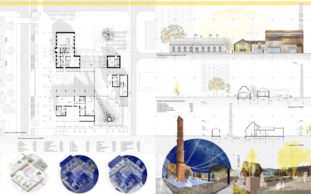
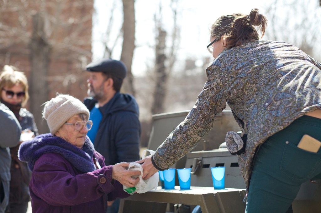
As part of an almost two-year experiment, together with the students, we managed to build a productive dialogue based on consensus and productive teamwork. As a result, a number of projects were created-winners of various competitions and received wide publicity. Students continue to work in a team even after graduation.

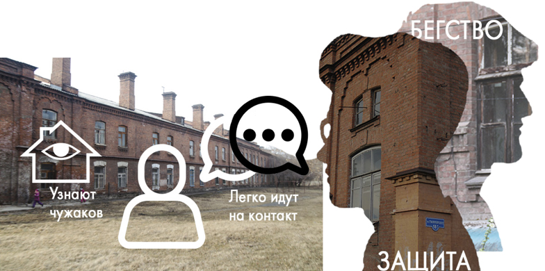
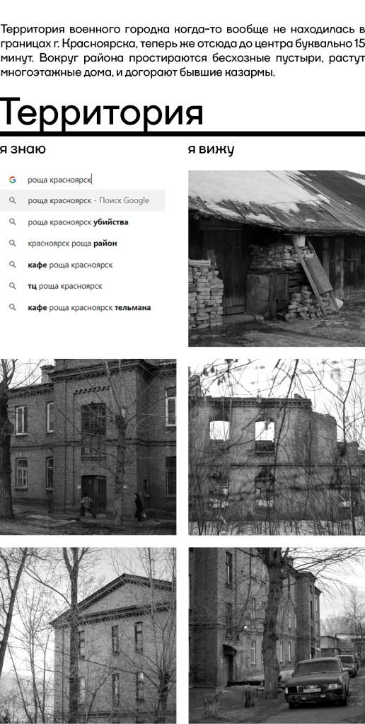
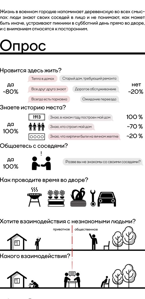
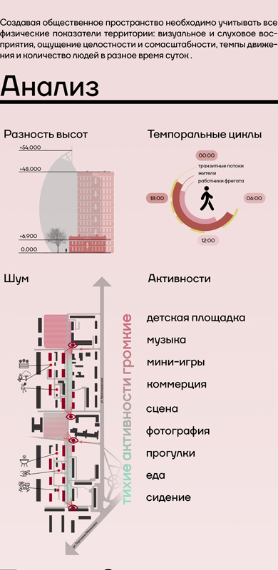

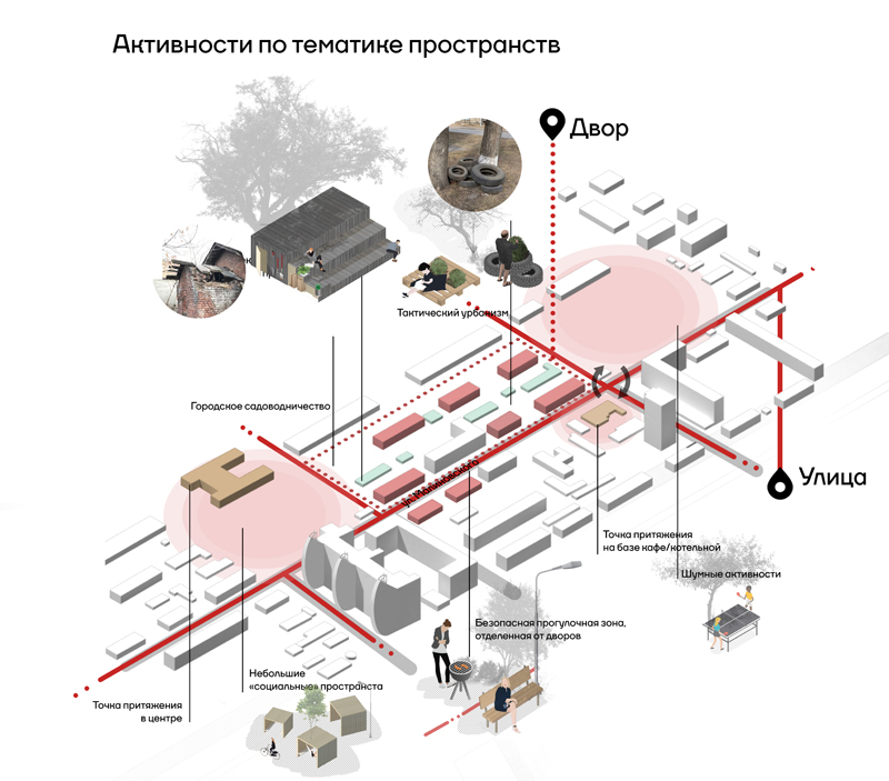
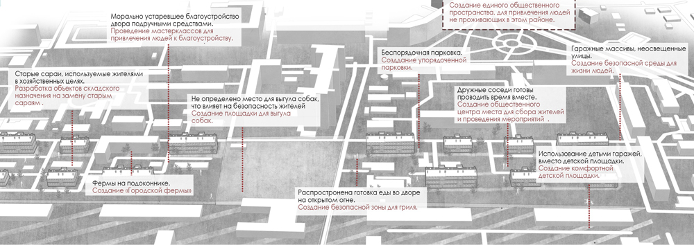
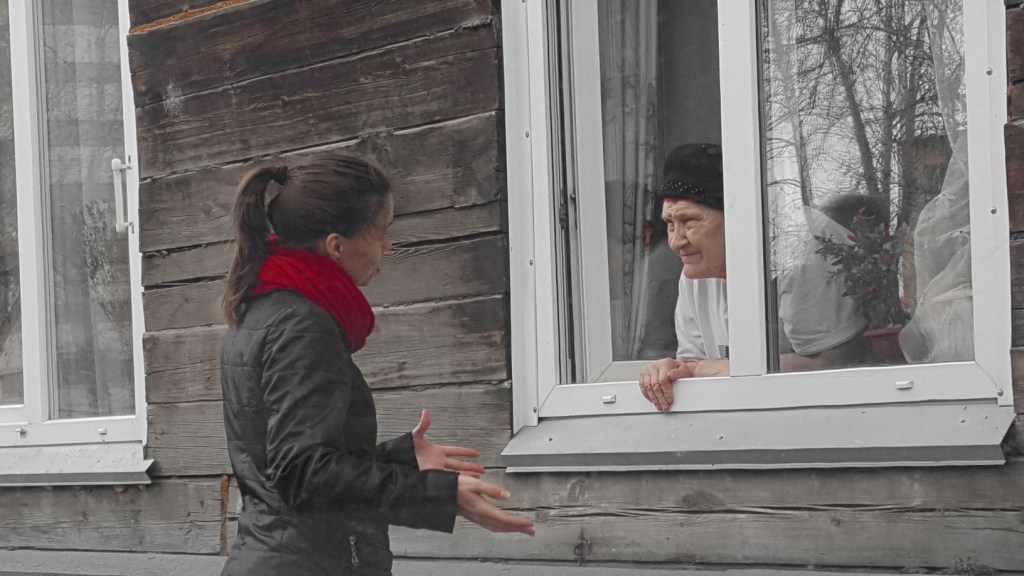
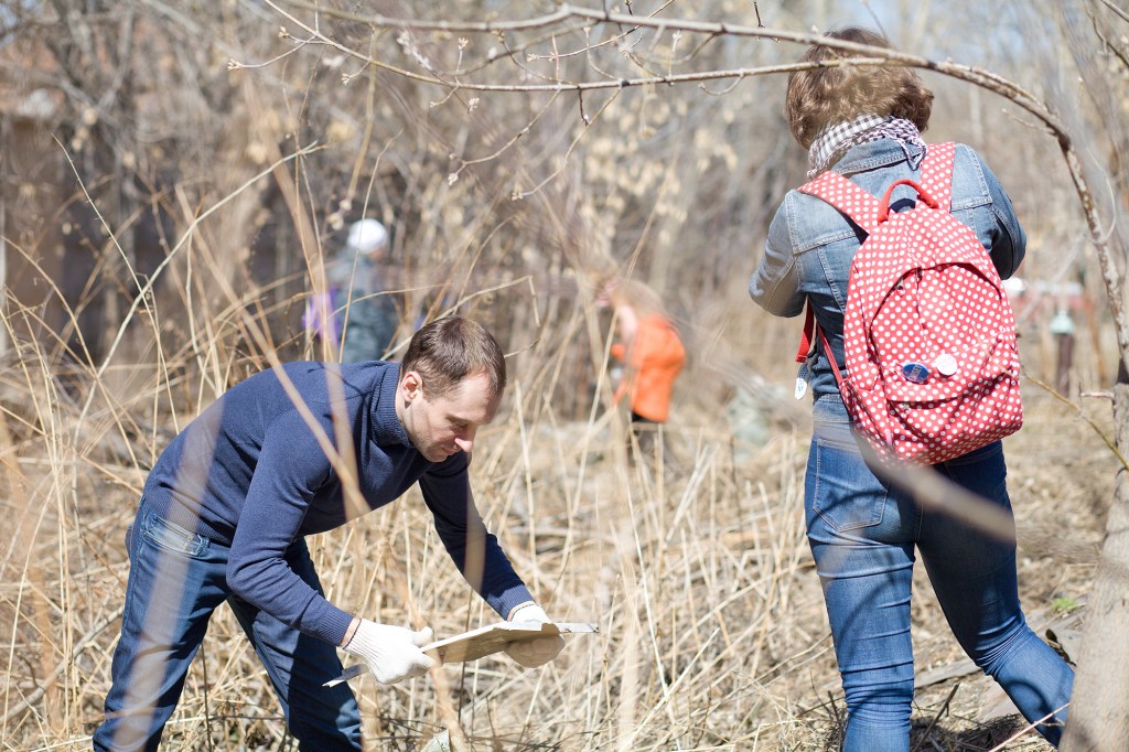
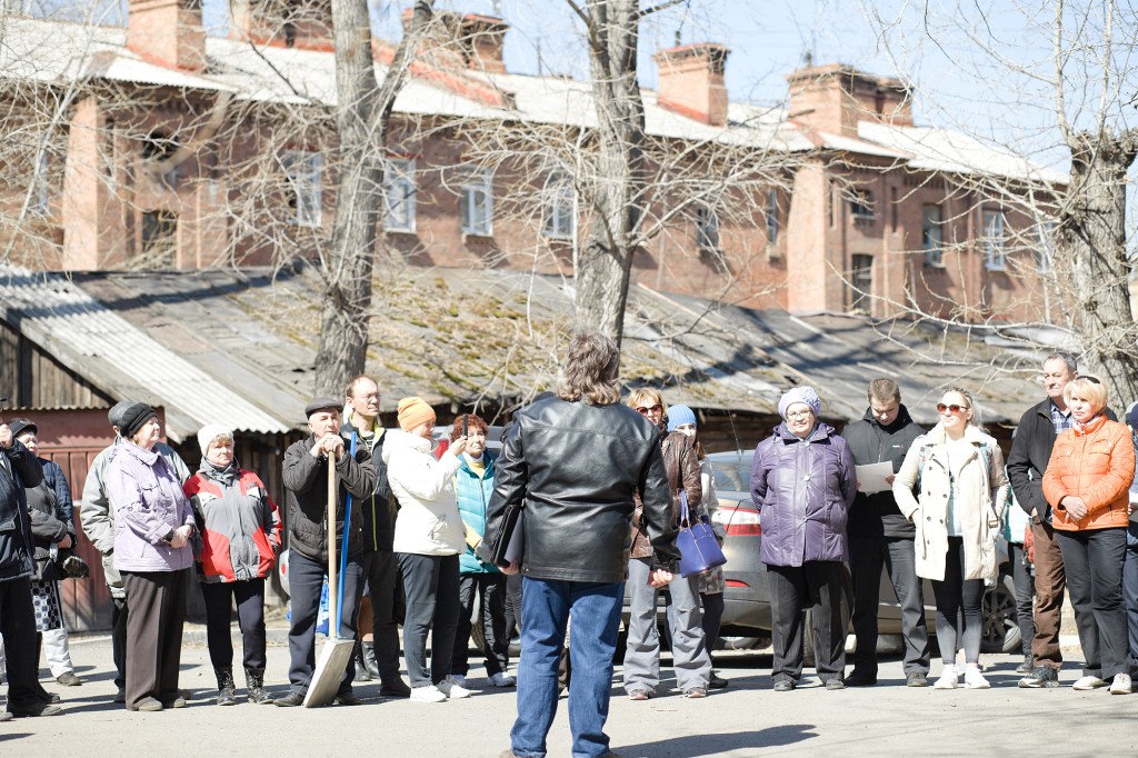


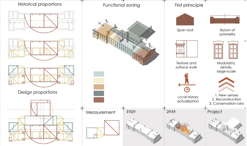
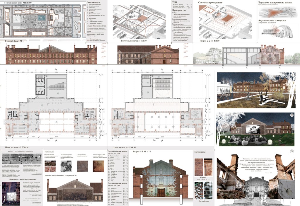
At the beginning of the second stage of the project, the students of SFU conducted a morphological analysis: analyzed historical stages of development of the territory and the hierarchy of the structural elements of the Military town as the socio-building unit, determined the “nested” (Moudon, 2019) hierarchy of space structure, found the current and former nodes and poles, the geographical reasons of their allocation, analyzed the nature and quality of its ages, openness, connectivity and closeness of spaces, the appearance of private/semi-private/public spaces and the potential of their development. First, students found that all the former Russian military camps (1/4 of XX century) obtained similar typological, functional and morphological structure; then, identified the “typical units” in the urban structure of Krasnoyarsk’s Military camp, relying on the literature, maps and interviews. Krasnoyarsk Military camp as a planned settlement consisted of the units of residential blocks, organized linearly, oriented primarily in South-North direction. The units were turned by the short side to two main roads, which connected the functional polarities and nodal points with specialized buildings (church, main squares, public buildings and parade grounds), and went from the West part to the East. The secondary roads divided the residential units and went in a North-South direction. Students also analyzed the transformation of the main typical unit, and the life around and inside it in time, based on the documents and interviews of residents. The combination of morphological analysis and social surveys allowed to determine the social borders of a traditional neighbourhood.